Greenbelt Trail - Ray Roberts Lake State Park

The Greenbelt Trail is a 10 mile multi-use trail system located at the Greenbelt Unit of Ray Roberts Lake State Park. The trail runs parallel to the Elm Fork of the Trinity River and offers pathways used for hiking, running, bicycle riding, horseback riding, and even canoeing.
The Greenbelt Trail can be accessed from three trailheads. The trail's northernmost access point is at the base of the Ray Roberts Lake dam along FM 455 near Sanger, Texas. Another access point is located along FM 428 near Aubrey, Texas. The trail's southernmost access point is located along US 380 in Denton, Texas. The trailheads at FM 455 and FM 428 have flush toilets with running water. The trailhead at US 380 has only pit toilets and no running water. Without a Texas State Parks pass, admission is $7 per person 13 or older. You can pay via a drop box or with your smartphone by scanning a posted QR code.
The review posted below is broken down by the trail's two main sections: FM 455 to FM 428 and FM 428 to US 380. The section from FM 455 to FM 428 is approximately 4 miles in length. The section from FM 428 to US 380 is approximately 6 miles in length.

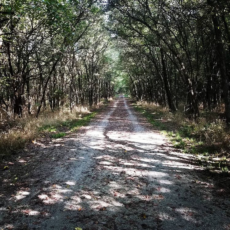
FM 455 to FM 428

.jpg)

After a four mile hike, you will arrive at the FM 428 trailhead. At this trailhead is a second historic truss bridge. This bridge was once upon a time a part of FM 428. It was built in 1922 and served cars until 1990 when a new bridge was built. The bridge remains in its original location and today is part of the Greenbelt Trail. A Texas Historical Marker tells a detailed story of the bridge's history.

This section of the trail is not spectacular, but it offers a nice easy hike with the opportunity to get in some miles. If you want a hike that offers a bit more shade, check out the section between FM 428 and US 380.
FM 428 to US 380


While much of this section of trail is covered with gravel, some portions give way to a dirt path. Standing water is common after rain events, so be prepared for the possibility of mud.

Approximately two miles South of the FM 428 trailhead, the trail forks. The right fork continues towards US 380. The left fork will take you to a scenic overlook.
.JPG)
After hiking up a hill, you reach the scenic overlook. The location includes a bench and offers views of the Crosstimbers landscape. In the distance you can see the city of Denton. If you are not up for hiking all the way to US 380, a hike to the scenic overlook is an excellent alternative. Roundtrip the hike between the FM 428 trailhead and the scenic overlook is 5.7 miles.

5.5 miles South of the FM 428 trailhead, a Union Pacific railroad crosses the trail. The noise of the train while not constant, did interrupt the sounds of nature on the day of my hike.

Like the northern section of the Greenbelt Trail, the FM 428 to US 380 section is nothing spectacular. However, the forested path of the southern section provides for a superior hiking experience. Let's hope that Texas Parks and Wildlife, the US Army Corps of Engineers, and other parties responsible for this trail, will continue to keep this section of trail open in the years to come.
More information:
.jpg)
